SPECIALISED DRONE FILMING
- Services
- Courses
- About Us
- Services
- Courses
- About Us
Drone Surveys using Photogrammetry
Drones enable you to capture large areas quicker, easier and cheaper than conventional means. This opens up myriad opportunities to measure, assess and monitor from the air for a fraction of the cost of traditional methods.
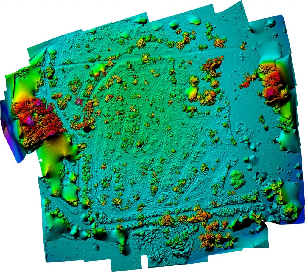
We flew a series of mapping missions for Forest Research to map research plots at the National Arboretum, Westonbirt. We produced detailed, accurate 2D orthomosaics suitable for overlaying onto mapping software such as ArcGIS and QGIS.

Mapping the extents of this commercial roof allowed us to gain accurate areas for the various surface planes, taking into account roof pitch angles. We added ground control points to increase relative accuracy of the output.
We were called in to fly a drone photogrammetry mission to map a parcel of land in the Gower Peninsula. We established trees felled as a proportion of the total land area to assist in a court case against the land owner.
Terms and Conditions
Privacy Policy
Copyright © 2022 Cinematic FPV.


